YELLOW WARNING - AIR QUALITY
Grand Forks
Current conditions
5°
—
- Humidity
- 100%
- Wind
- S 8 km/h
- Notes
- fog possible
- Thursday night
- Increasing cloudiness early this evening. 60 percent chance of drizzle late this evening and overnight. Snow level 1500 metres lowering to 1000 metres near midnight. Hazy early this evening. Fog patches late this evening and overnight. Wind southeast 20 km/h becoming light this evening. Low plus 3.
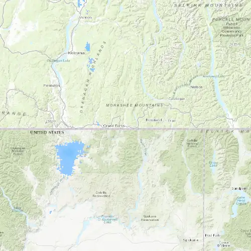
Show Radar & Lightning Map (~30 KB)Hide Radar & Lightning Map
24 Hour
NOW12am6amnoon6pm


60%30%
7 Day
TONFRISATSUNMONTUEWED


60%30%40%60%30%60%30%40%
7°7°8°4°7°9°
3°4°1°-7°2°5°
Forecast issued
Friday
Cloudy with 30 percent chance of rain or drizzle. Snow level 1000 metres rising to 2500 metres late in the afternoon. Wind becoming southeast 20 km/h gusting to 40 late in the morning. High 7. UV index 1 or low.
Friday night
Cloudy with 30 percent chance of showers in the evening then partly cloudy. Wind southeast 20 km/h gusting to 40 becoming light in the evening. Low plus 4.
Saturday
Cloudy with 40 percent chance of drizzle. High 7.
Saturday night
Cloudy with 60 percent chance of showers. Low plus 1.
Sunday
A mix of sun and cloud. High 8.
Sunday night
Clear. Low minus 7.
Monday
Increasing cloudiness. High plus 4.
Monday night
Cloudy with 30 percent chance of showers. Low plus 2.
Tuesday
Cloudy with 60 percent chance of showers. High 7.
Tuesday night
Cloudy with 30 percent chance of showers. Low plus 5.
Wednesday
Cloudy with 40 percent chance of showers. High 9.